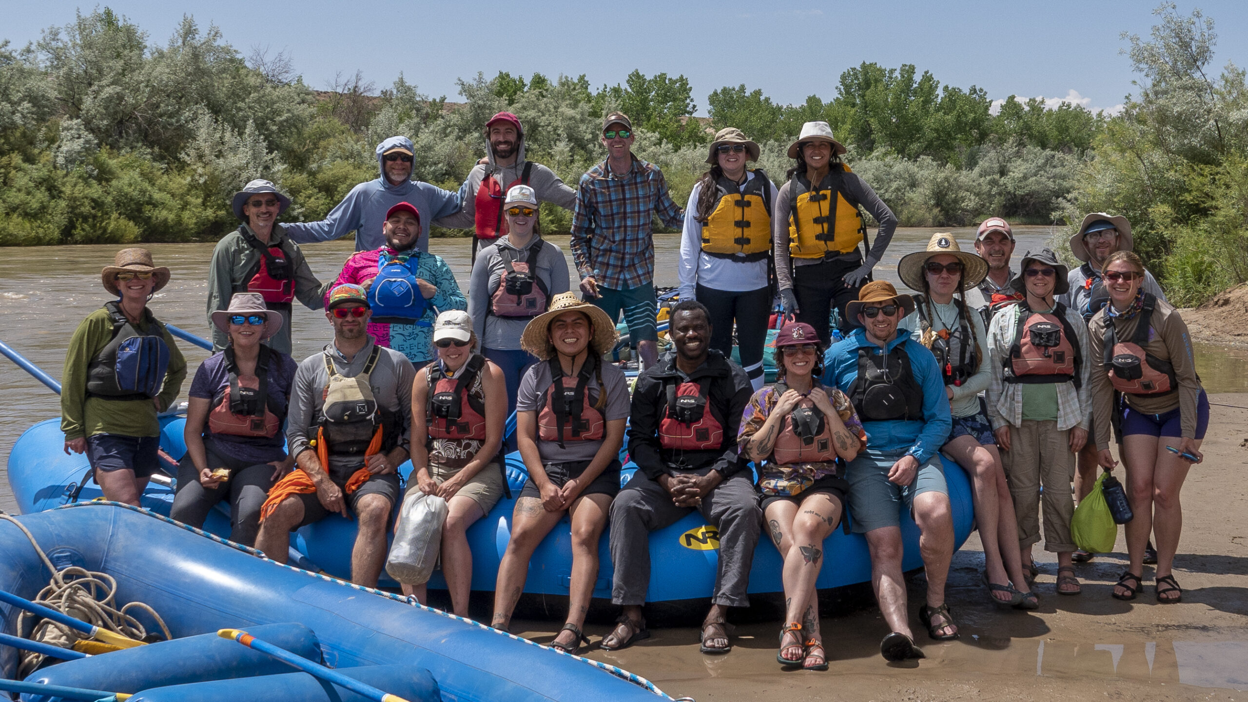
The River Field Studies Network

Immersive Outdoor Learning
Connecting Rivers and Communities
Research in Action
Exploring Our Waterways
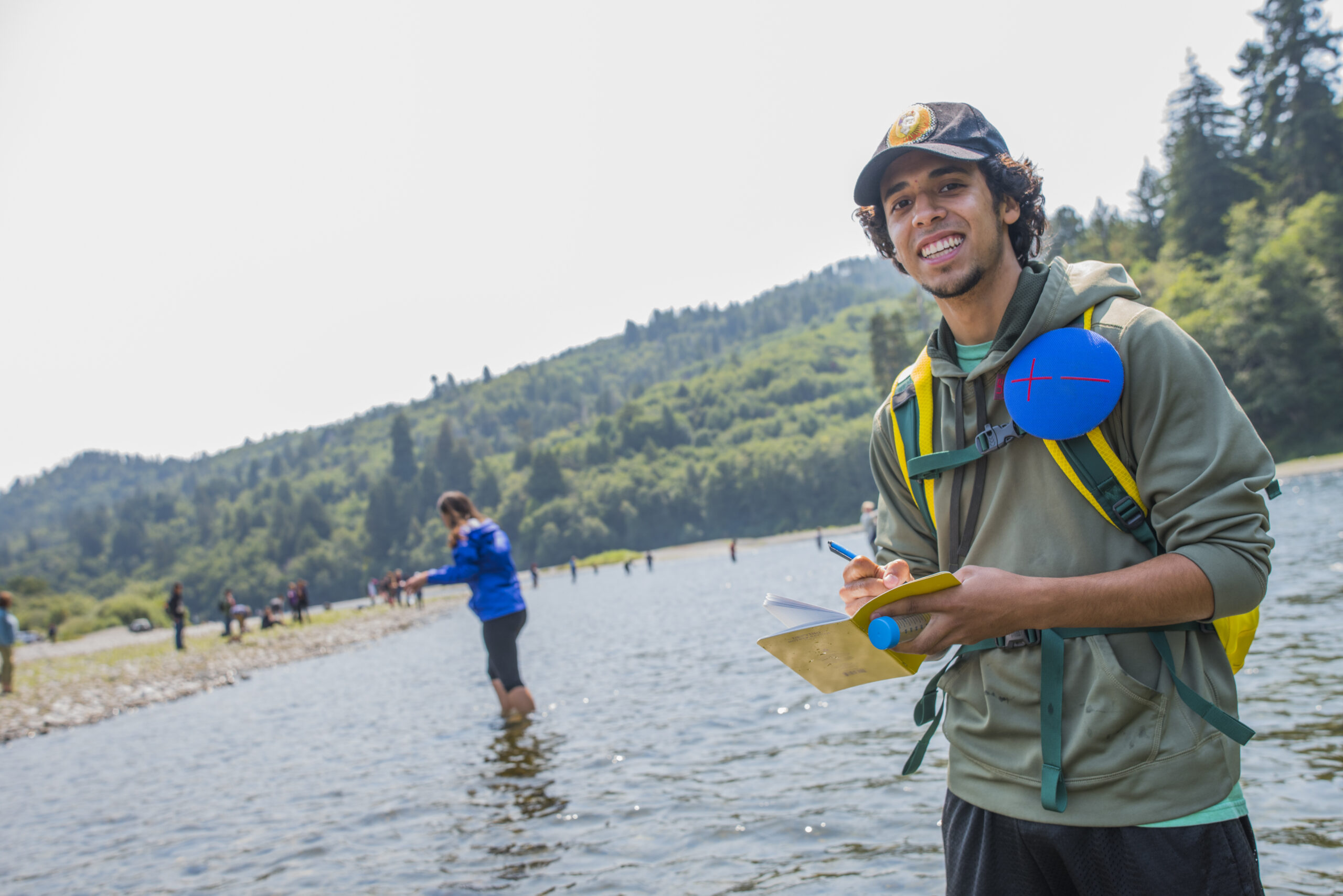
Rivers perform a broad set of functions essential to human societies and the landscapes they flow through. River-human relationships often are impaired, which threatens both rivers and people. Restoring these relationships will require a diverse workforce of interdisciplinary problem solvers. Field studies are essential to creating this workforce. Field studies connect students to learning objectives, peers, instructors, and society through immersive active learning in real world environments. They help overcome achievement gaps, propel inclusion, catalyze career interest, and create informed and engaged citizens. However, to achieve these benefits, field instructors must overcome a unique and growing set of challenges. In addition to knowledge of their STEM discipline, field studies instructors require a sophisticated grasp of specialized pedagogy and assessment, fundraising, negotiating institutional bureaucracy, issues of diversity, equity, and inclusion, and multiple dimensions of risk management. Mastering these is more than many self-taught instructors will be able to manage on their own. Without a network for support and guidance, instructors will burn out, risk-averse institutions will shy away, and field studies will continue to decline. The River Field Studies Network is a response to the paired crises of rivers and field studies. At this moment of critical vulnerability, we must restore and expand the capacity to bring students and rivers into contact through active learning.

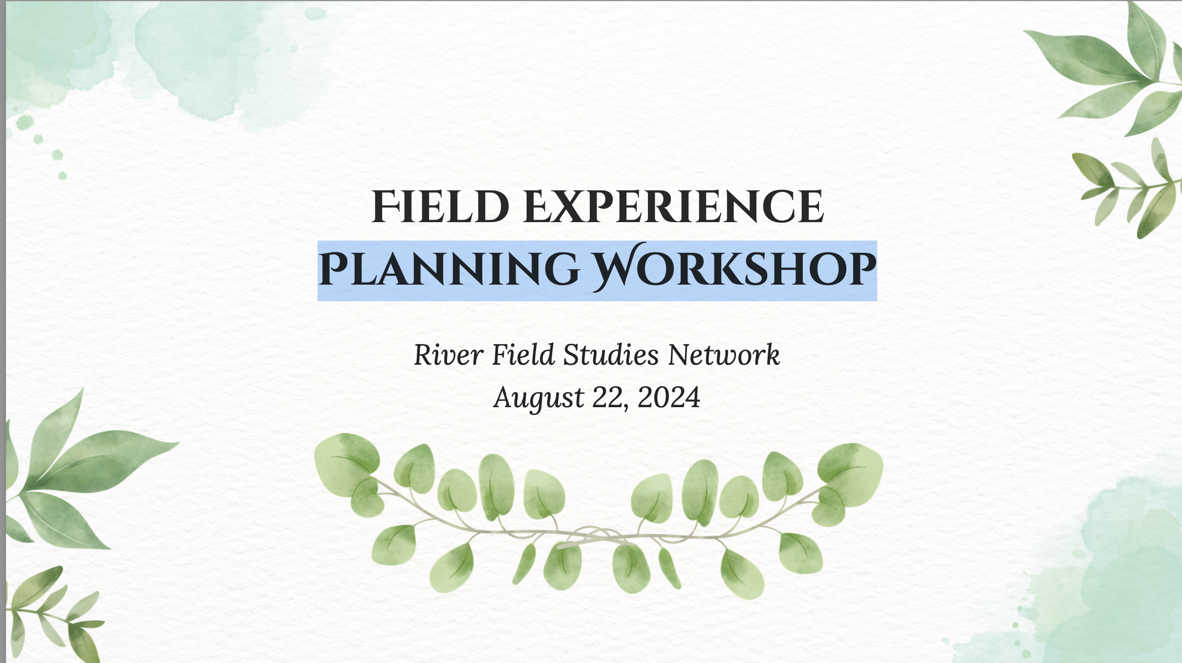
This is the recording of a presentation/webinar given by Dr. Mandi Leigh Education Lecturer and Clinical […] Read More
Registration is now open for Field Inclusive’s Fall Online Social Field Safety Workshop. Registration cost […] Read More
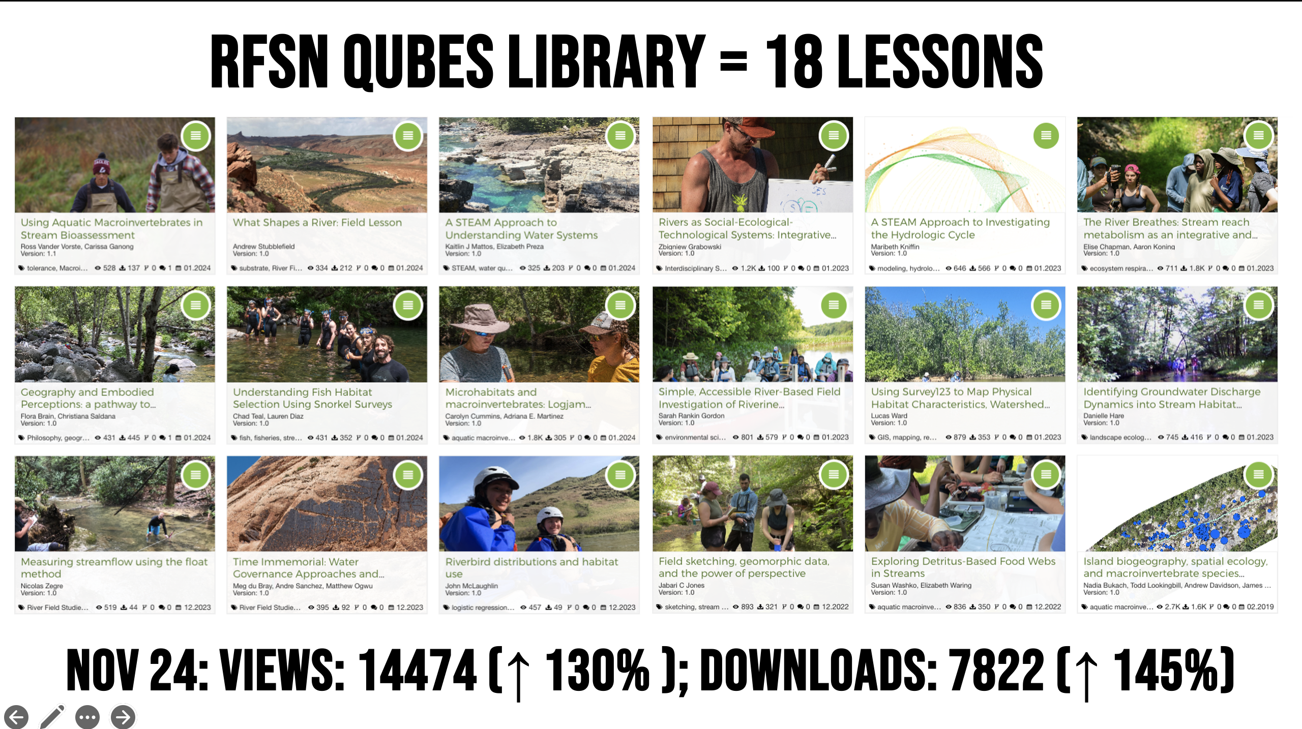
The River Field Studies Network (RFSN) has been playing around with NotebookLM to help share […] Read More
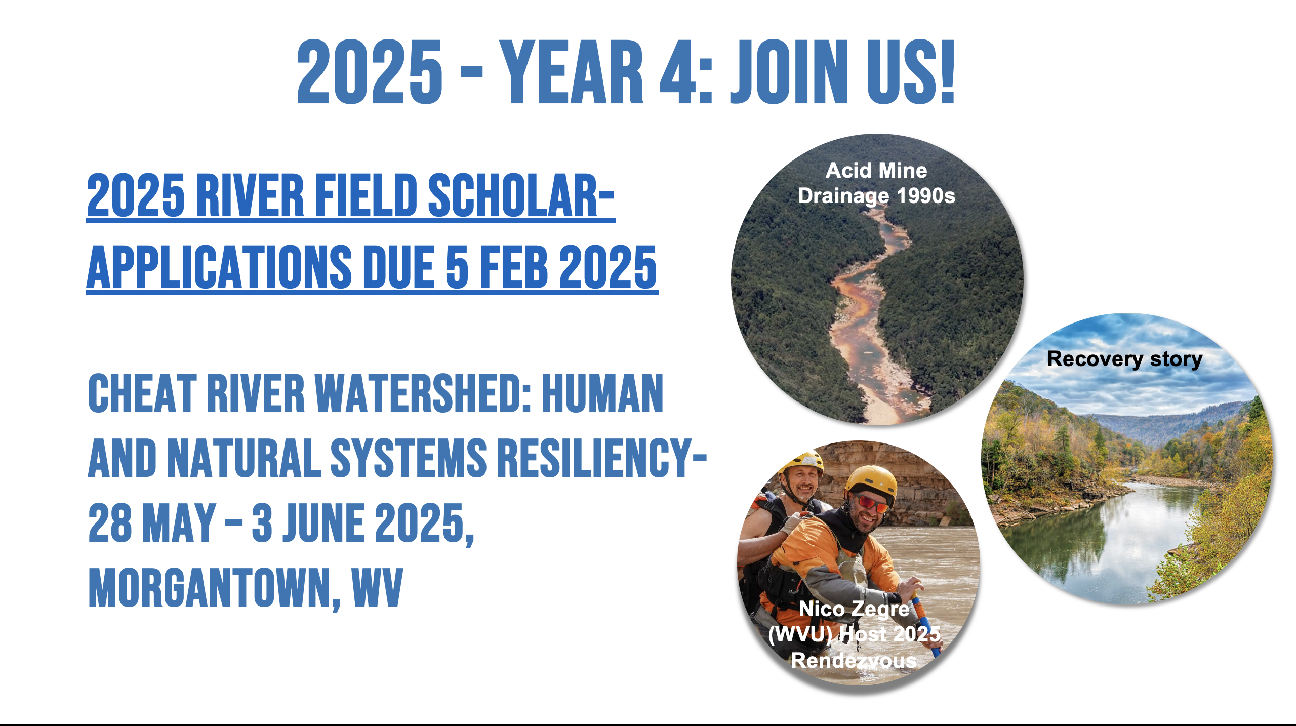
Join us this summer on the Cheat River in West Virginia this Summer Applications due […] Read More

American Whitewater has published a new resource for river safety that is accessible and will be […] Read More
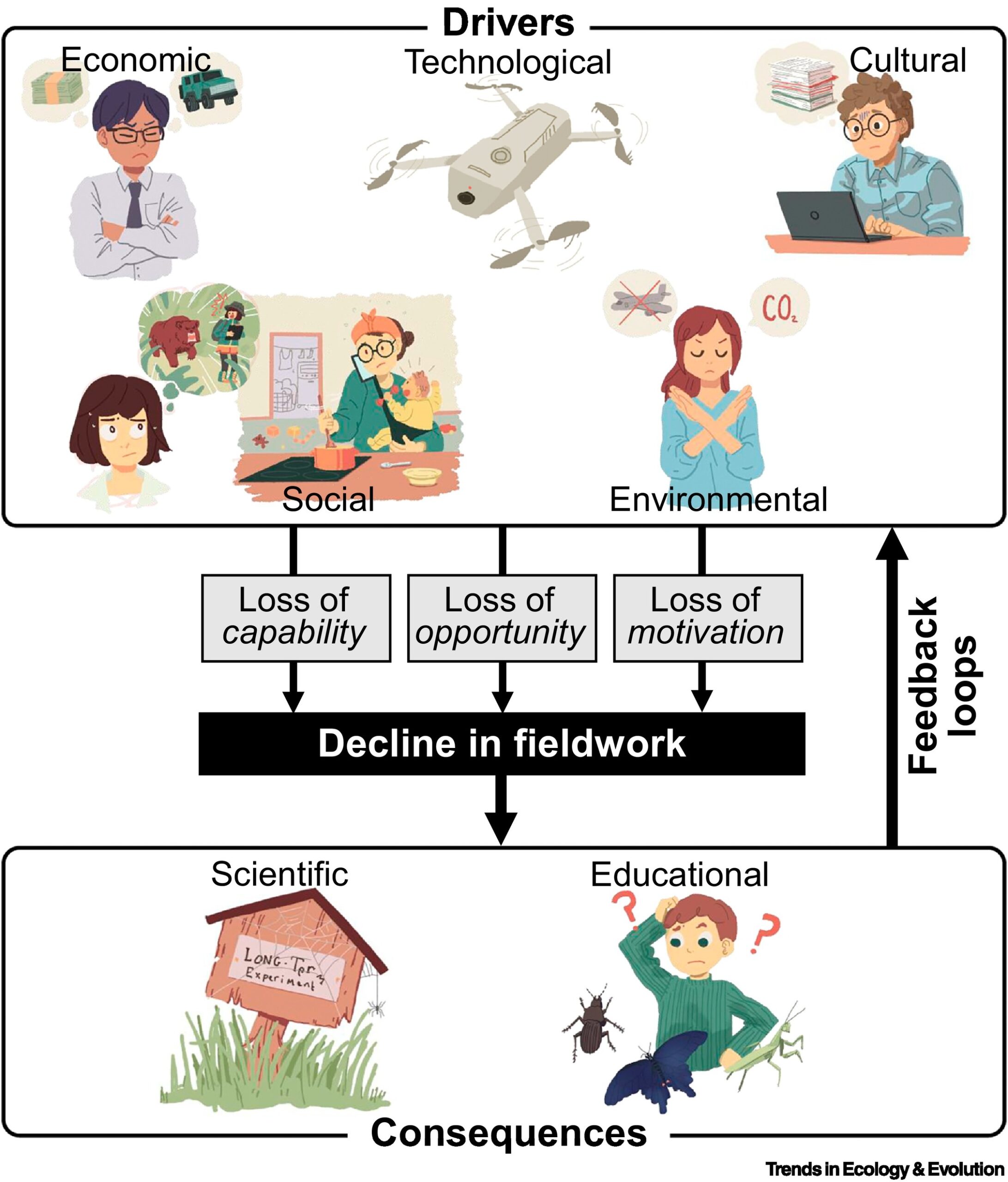
The RFSN community will find this new article of interest, “Extinction of experience among ecologists” […] Read More
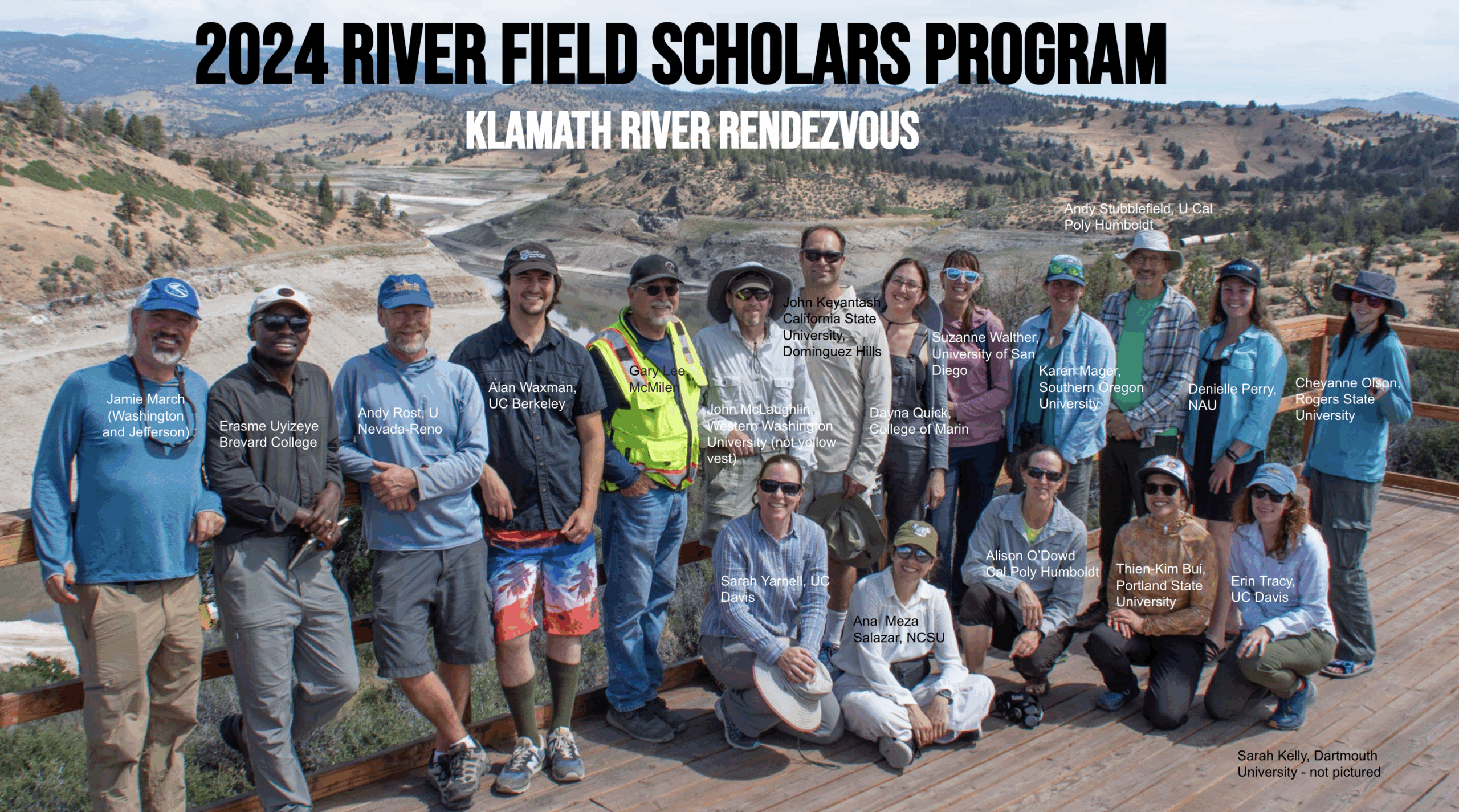
The River Field Studies Network has announced the culmination of the 2024 River Field Scholar […] Read More
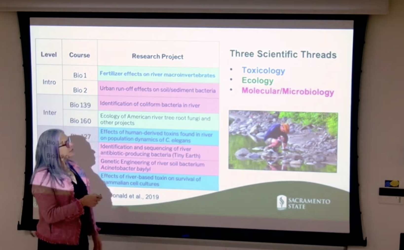
Ever considered transforming your undergraduate curriculum to focus on hands-on course-based research or authentic learning […] Read More
Sorry, no posts matched your criteria.